Results
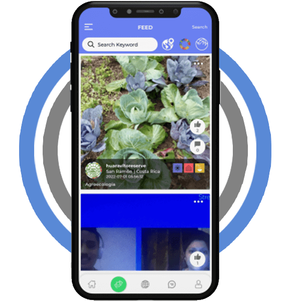
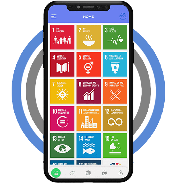
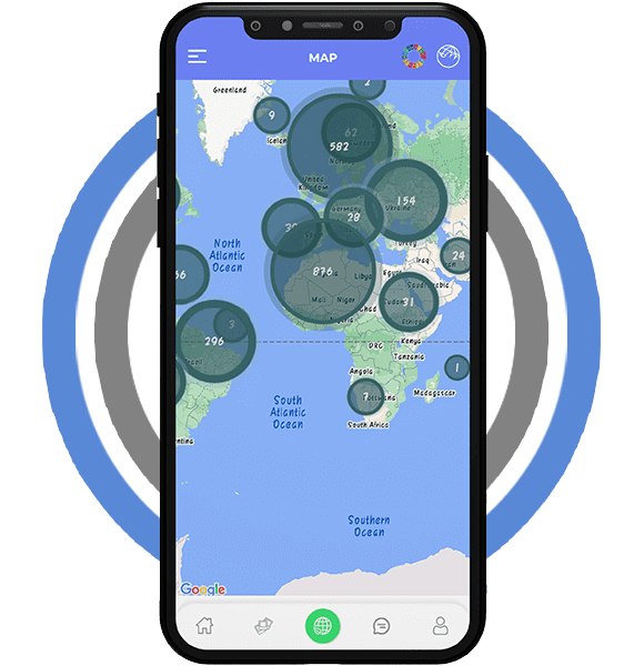
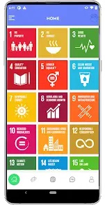
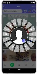
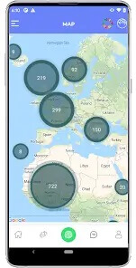
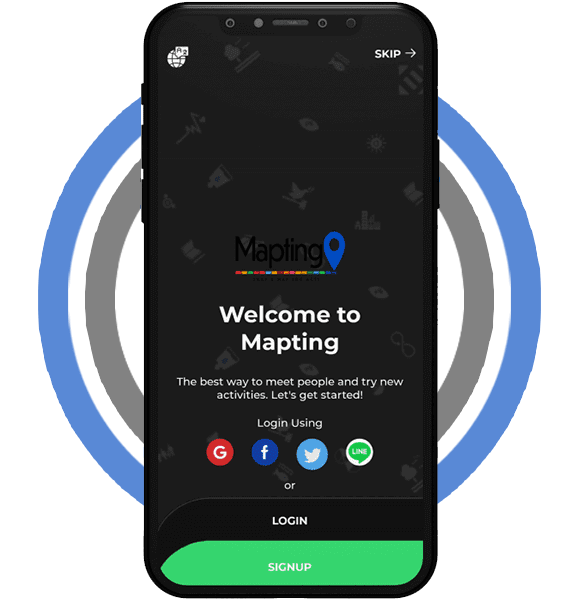
The application is a wonderful way to build a worldwide network. Additionally, the app may be used as a barometer to determine which SDGs are utilised most or least globally and where. With this information, you may quickly connect with local projects pursuing the same SDGs or step in to fill the gaps when a particular SDG is not being implemented.
By connecting people via mapping, you may build bridges between ideas and be inspired to innovate, come up with solutions for a brighter future, and carry out the SDGs within an ethical framework based on the Earth Charter’s tenets. The motivation for action is provided by mapping; it motivates individuals to take action and inspires others to join them in the fight for a sustainable transition. Youth are strongly encouraged to utilise mapping to connect with like-minded projects and share their deeds with others. Mapting’s accessibility enables us to develop a stronger community, discuss effective strategies for creating a sustainable future, and gain knowledge about the SDGs and Earth Charter tenets.
What a sustainability mapping app usually needs to do
Apps built around the Sustainable Development Goals sit somewhere between a social network and an interactive map. People open them to see what others are doing nearby, add their own small actions and feel part of a wider movement.
That mix shapes the product. The map has to load fast on ordinary phones, posts need to appear for everyone without delay, and the goal icons must be clear to someone who has never read the SDG framework.
Features a geo-social impact app typically includes
- An interactive world map with clustered pins, so busy regions stay readable when thousands of posts share one area.
- Photo and short video uploads tagged with a location and one or more goals, so each post is easy to filter later.
- A goal library that explains each of the 17 goals in plain language, with links to related posts on the map.
- Comments, follows and group projects, which turn single posts into ongoing local conversations.
- A personal activity profile that records what a user has shared and which goals they care about most.
- Simple moderation tools: report buttons, keyword filters and an admin queue for flagged images.
- Sharing to outside social networks, so a good action can reach people who don’t use the app yet.
- Regional views and basic summaries that show which goals get the most or least attention in an area.
Build choices for map-heavy community products
Most teams in this space ship on both iOS and Android, either natively or with a cross-platform framework, because the audience spans every age group and device. A shared codebase can cut effort when the map and feed behave the same on both platforms.
The backend matters as much as the screens. It needs geospatial queries, image storage with resizing, push updates so new pins show up live, and caching so the map doesn’t reload every tile on each visit.
Privacy deserves early attention too. Location data is personal, so apps like this usually blur exact home addresses, ask for consent clearly and let users delete their posts and account without contacting support.
Accessibility is the other quiet requirement. Large tap targets, readable contrast on map labels and text alternatives for goal icons help older users and people with low vision take part.
Offline support helps more than people expect. Letting someone capture a photo in a park with no signal and upload it later keeps the posting habit intact.
Translation is worth planning early for a global audience. Storing goal names and interface text in language files makes adding a new language a content task, not a rebuild.
Keeping a public map useful over time
Community maps live or die by fresh content. Gentle reminders, weekly regional highlights and badges for repeat contributors give people a reason to come back without spamming them.
Search and filters keep the map from becoming noise. Filtering by goal, date range or distance lets a teacher, a volunteer group or a local council find exactly the posts they need.
Testing should cover weak networks and older handsets. Uploads that fail quietly on a slow connection are the fastest way to lose a new contributor, so retries and clear progress bars matter.
Partners such as schools, NGOs or city teams often ask for exports later. Planning a clean data model early makes reports and simple dashboards much easier to add in a second phase.
What to plan before development starts
- Scope: decide whether the first release is map plus posting only, or also groups, chat and analytics.
- Content: prepare goal descriptions, icons and onboarding screens before design begins.
- Moderation: agree who reviews reported posts and how fast, since public photo feeds attract misuse.
- Budget tier: a lean first version, a mid-size product with community tools, or a larger platform with dashboards for partners.
- Timeline drivers: the number of platforms, custom map styling, the depth of the admin panel and third-party sharing.
- After launch: store updates for new OS versions, server monitoring, map provider limits and regular content refreshes.
Ownership of the code, the map account and the cloud servers should be settled in the contract, so the product can move to another team later if needed.
A small, well-tested first release usually teaches more than a long feature list. Real posting habits show which community tools are worth building next.
Planning something similar?
EchoInnovate IT has 12+ years of building mobile products and a team of 50+ people. We design and build location-based community apps through our mobile app development and cross-platform app development services. Walk us through your map idea on a brief scoping call, and we’ll send back a fixed quote you can plan around.