
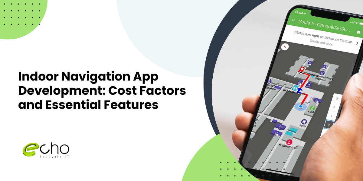
If you are scoping an indoor navigation app in 2026, the first question is usually cost, so here is the direct answer: most indoor wayfinding projects vary widely in cost, depending on venue size, positioning accuracy, and how many buildings you need to map. A single-building pilot with blue-dot positioning and turn-by-turn routing can start near the low end, while a multi-site platform with real-time asset tracking, analytics, and accessibility routing sits at the top. Indoor navigation is harder than it looks because GPS does not work reliably indoors, so the app has to fuse Bluetooth beacons, Wi-Fi RTT, or camera-based positioning with a digital map of every floor. That mapping and calibration work is the part most buyers underestimate. This guide is written for the person signing off the budget, not only the engineer. It walks through 2026 market cost ranges, the features that actually matter, the tech stack and integrations involved, realistic timelines, what drives the price up or down, and how a dedicated partner like EchoInnovate IT builds and maintains these apps. If you want the wider picture on app budgets first, see our guide to mobile app development cost, then come back for the indoor-positioning specifics. For the full build, our mobile app development team handles the mapping, SDK, and app end to end.
Key takeaways
- Most indoor navigation apps vary widely in cost in 2026; a single-venue pilot is the most affordable way to start.
- GPS fails indoors, so accuracy comes from beacons, Wi-Fi RTT, or visual positioning fused with a floor-plan map.
- The biggest hidden cost is mapping and calibrating each floor, not the app UI.
- A typical first release takes 3–6 months; multi-building platforms take longer.
- Start with a fixed-price 2-week pilot sprint to validate positioning accuracy before committing the full budget.
In this article
- How much does it cost to build an indoor navigation app?
- Must-have features of an indoor navigation app
- Tech stack and integrations for indoor positioning
- How long indoor navigation app development takes
- What drives the cost of an indoor navigation app
- How EchoInnovate IT builds indoor navigation apps
- Frequently asked questions
How much does it cost to build an indoor navigation app?
There is no single sticker price for indoor navigation, because the cost is driven by how big the venue is and how accurate the positioning has to be. The table below shows relative investment levels by project tier. Treat these as planning bands, not quotes; the exact figure depends on your floor count, hardware choice, and integrations, which we confirm after a short scoping call.
| Project tier | What it includes | Investment level | Timeline |
|---|---|---|---|
| Single-venue pilot | One building, blue-dot positioning, search and turn-by-turn routing, basic POIs | Entry-level | 3–4 months |
| Standard wayfinding | Multi-floor routing, accessibility paths, categories and filters, CMS for map updates, analytics | Mid-range | 4–6 months |
| Enterprise platform | Multiple buildings, real-time asset and staff tracking, geofenced notifications, dashboards, third-party system integrations | Enterprise-scale | 6–10 months |
The tiers above cover design, development, positioning integration, testing, and a first venue map. Ongoing costs, such as beacon hardware, map recalibration, and app-store maintenance, are separate and depend on venue size. If your budget is tight, the most reliable path is to build one venue well, prove the accuracy, and expand. That is also why we recommend starting with a scoped pilot rather than committing to a full multi-site rollout on day one.
Must-have features of an indoor navigation app
The features you choose decide both the user experience and the budget. Some are non-negotiable for any wayfinding product; others are add-ons that fit specific venues like hospitals, airports, malls, universities, or warehouses. Below are the capabilities that matter most in 2026.
Blue-dot positioning and live location. The core of the app is showing users where they are on an indoor map and updating it as they move. Accuracy of one to three meters is achievable with beacons or Wi-Fi RTT and is the single feature users judge the app on.
Turn-by-turn indoor routing. Point-to-point directions across corridors, floors, elevators, and stairs, with rerouting when a user goes off path. Multi-floor routing that hands users to the right elevator or escalator is what separates a real product from a static map.
Search and points of interest. Users need to find a store, gate, room, or department fast. A searchable POI database with categories, opening hours, and metadata is essential, and it usually needs a content management system so non-technical staff can keep it current.
Accessibility routing. Step-free paths that avoid stairs are a legal and ethical requirement in many venues. This is straightforward to build if planned early and expensive to retrofit later.
Advanced Indoor-Navigation Features
Geofenced notifications. Location-triggered messages, such as a promotion near a store or a safety alert near a hazard, add commercial and operational value and are a common reason venues fund the app.
Analytics dashboard. Foot-traffic heatmaps, popular routes, and dwell-time data turn the app into a business tool, not just a convenience. For venues, this data often justifies the whole investment.
Asset and people tracking. Enterprise venues, especially hospitals and warehouses, track equipment, inventory, or staff in real time. This is the feature that pushes a project into the top cost tier because it needs denser hardware and a real-time backend.
For an outdoor, road-focused counterpart, see how to build a navigation app like Waze.
Tech stack and integrations for indoor positioning
Indoor navigation is a systems problem, not just an app problem. The stack has three layers: the positioning technology, the map and routing engine, and the app itself. Getting the first layer right is what determines accuracy and, ultimately, whether users trust the product.
Positioning technology. The most common approaches in 2026 are Bluetooth Low Energy beacons, Wi-Fi RTT (round-trip time), and visual or camera-based positioning using ARKit and ARCore. Beacons are proven and predictable but require hardware and calibration. Wi-Fi RTT can reuse existing access points in newer buildings. Visual positioning needs no hardware but depends on good lighting and a pre-scanned venue. Many venues use a hybrid, and part of our scoping work is choosing the mix that hits your accuracy target at the lowest hardware cost.
Mapping and routing. Floor plans are converted into a routable graph so the engine can compute paths across corridors, floors, and accessibility constraints. Mature SDKs such as Mapbox, MapsIndoors, or Situm can accelerate this, or we build a custom engine when licensing or data ownership matters. This layer is where most of the specialized engineering time goes.
App and backend. The mobile client is typically built with React Native for a single cross-platform codebase, or native Swift and Kotlin when the positioning SDK demands it. The backend handles the POI database, map versioning, analytics, and notifications. Common integrations include venue CMS and directory systems, calendar and booking tools, digital signage, and enterprise systems like hospital EHRs or warehouse WMS platforms. If you need to extend your own engineering team rather than outsource the whole build, our IT staff augmentation option places dedicated engineers alongside your people.
How long indoor navigation app development takes
A realistic first release for a single venue takes three to six months. The timeline is driven less by app screens and more by mapping, positioning calibration, and on-site testing, which cannot be rushed without hurting accuracy. Here is how the phases typically break down.
Weeks 1–2: discovery and positioning strategy. We confirm the venue, accuracy target, features, and the positioning technology. This is also when we decide beacon density or whether existing Wi-Fi is usable, because that decision shapes the hardware budget.
Weeks 3–6: mapping and design. Floor plans are digitized into routable maps, POIs are catalogued, and the app UX is designed. For a multi-floor venue this is the longest fixed-cost activity.
Weeks 6–14: development and integration. The app, routing engine, backend, and integrations are built in parallel. Positioning is wired in and tested against the live venue in short cycles.
Weeks 12–18: on-site calibration and QA. The team walks the venue, tunes the positioning, and fixes dead zones. This physical, in-building testing is unique to indoor navigation and is the phase most first-time buyers underestimate.
Weeks 16–20: launch and handover. App-store submission, staff training on the CMS, and analytics setup. Multi-building platforms then repeat the mapping and calibration steps per site, which is why enterprise rollouts run longer. Starting with one venue lets you launch faster and reuse the proven playbook everywhere else.
What drives the cost of an indoor navigation app
If you want to control the budget, it helps to know which variables move the price most. In our experience these are the five biggest cost drivers on indoor navigation projects.
Venue size and floor count. Every floor has to be mapped, calibrated, and tested. A three-story building is not three times a one-story building, but mapping effort scales with area and complexity, and it is usually the single largest line item.
Required accuracy. Sub-meter accuracy for asset tracking needs denser hardware and more calibration than the one-to-three-meter accuracy that is fine for shopper wayfinding. Be honest about how precise you actually need to be, because over-specifying accuracy inflates both hardware and engineering cost.
Positioning technology and hardware. Beacons carry a per-unit hardware and installation cost; Wi-Fi RTT may be nearly free if the venue already has capable access points; visual positioning trades hardware for scanning effort. The choice can swing the total by tens of thousands of dollars.
Integrations. Connecting to an EHR, a warehouse management system, digital signage, or a booking platform adds engineering and testing. Each integration is a mini-project with its own edge cases.
Real-time tracking and analytics. Live asset or people tracking requires a real-time backend and denser infrastructure, which is why it sits in the top tier. Standard analytics, by contrast, is relatively inexpensive to add. Deciding which of these you genuinely need is the fastest way to right-size the budget, and it is exactly what a scoping call is for. For a broader view of how features map to price, our mobile app development cost guide breaks the same logic down across app types.
How EchoInnovate IT builds indoor navigation apps
EchoInnovate IT is an India-based custom and white-label software development company with 12 years in the field, 50+ employees, and 500+ products shipped, most of them launched under our clients’ own brands. We hold a 5.0 rating on Clutch across 6 verified reviews. That white-label history matters for indoor navigation, because we have built location-aware and mobile app products across healthcare, retail, and logistics venues, and we treat positioning accuracy as the deliverable, not just working code.
Our approach is deliberately venue-first. We start by walking the space, either on-site or through detailed plans, and choosing the positioning technology that hits your accuracy target at the lowest hardware cost, rather than defaulting to the most expensive option. We digitize the map, build the routing engine, and wire the app to your CMS and enterprise systems, then calibrate in the real building until the blue dot behaves. You get a dedicated team, transparent pricing after scoping, and code and map data you own. Because we work white-label, many clients ship the app under their own venue brand with no trace of an outside agency. Whether you need a full build or want to extend your own engineers with our specialists, we structure the engagement around your roadmap, not ours.
How We Run Your Indoor-Navigation Build
In practice, that means you are never left guessing about status or cost. We work in short, visible sprints with a named point of contact, share progress you can test at the end of each cycle, and flag positioning or integration risks the moment they appear rather than at the end. For venues rolling out wayfinding across several buildings, that discipline is what keeps site two and site three from becoming a fresh project each time. Because we have built location-aware products across healthcare, retail, and logistics, we bring reusable patterns for map ingestion, beacon calibration, and analytics, so we spend your budget expanding coverage rather than relearning the basics. When the pilot ends you have working software, a clear estimate, and a team that already knows your venue.